Mapping the Changing Ecology of the Mississippi River

The closure of the Upper St. Anthony Falls Lock and Dam in June 2015 marked the end of an era for the Mississippi River — and the beginning of a grand experiment in the river’s ecology.
With the river no longer being dredged to accommodate barge traffic, sediment will accumulate on the river floor. North of downtown Minneapolis, the river is expected to revert to a more natural state.
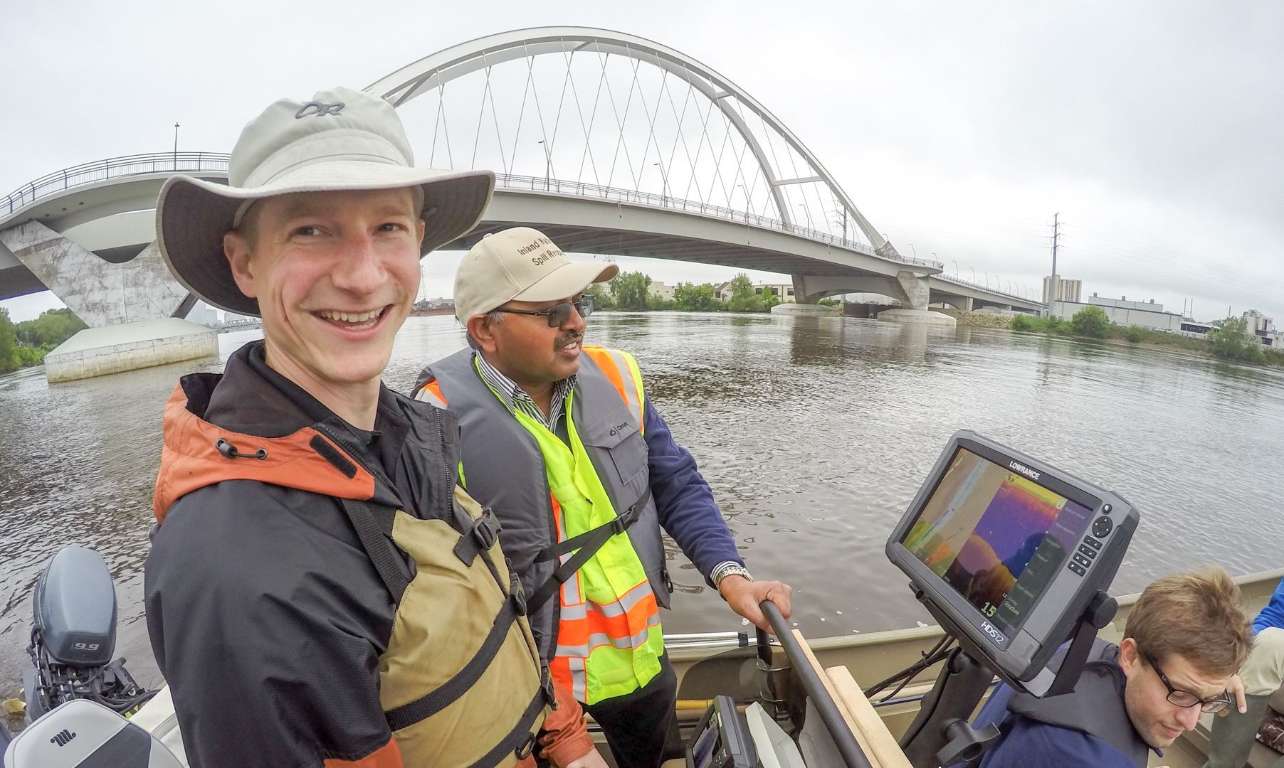
The MWMO is helping to document these changes by mapping the depth and shape of the river bottom over time. Called “bathymetric mapping,” the procedure produces data that provides a clear and detailed picture of the river’s underwater terrain. The MWMO’s water quality monitoring team conducted the first round of bathymetric mapping in the summer of 2015.
MWMO staff also aided in the collection of macroinvertebrate samples, which will similarly provide a snapshot of their populations in the river and provide insight into the river’s current water quality. As the river’s conditions evolve, MWMO staff will conduct follow-up data collection that will provide new insights about the environmental impacts of a lock closure and changes in river management.
Funding for this research is provided by the Minnesota Environment and Natural Resources Trust Fund as recommended by the Legislative-Citizen Commission on Minnesota Resources. Project partners include the Minneapolis Riverfront Partnership, the University of Minnesota and the Minnesota Department of Natural Resources.
Note: This blog post was adapted from an article in our fall 2015 newsletter, The Drift, Vol. 11.


