In Photos: Monitoring Water Quality with the MWMO

By Dayna Ball, Communications Intern
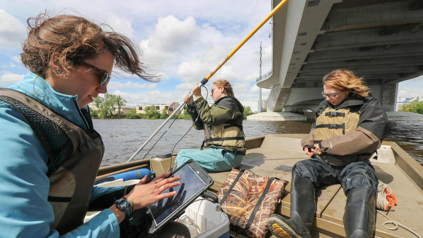
The MWMO monitoring team works throughout the year — through rain, heat and freezing Minnesota winters — to work toward improving water quality in the watershed. Fortunately for me, the weather was nice when I accompanied them on a couple of recent field work days to get a better sense of what they do.
Since its start in 2005, the MWMO monitoring team has grown from a single specialist to a team of four full-time staff and two interns. Together, they monitor water quality and habitat within nearly 40 square miles of urban land watershed. Although their focus is on the 15-mile stretch of the Mississippi River that lies within the watershed, they also monitor water quality in the local storm drain systems and a small group of wetlands called the Kasota Ponds.
Team members have backgrounds in the fields of engineering, water resources management, biology, geology and environmental science. In their day-to-day work with the MWMO, they apply this knowledge to monitor the health of the river. Their work helps keep track of pollutants like E. coli bacteria, phosphorus, chloride, sediment and heavy metals.
The team uses a variety of sampling methods and tools, as described in their Annual Monitoring Report. I joined them for a pair of their regular monitoring activities: bacteria sampling and river water quality sampling.
Bacteria sampling
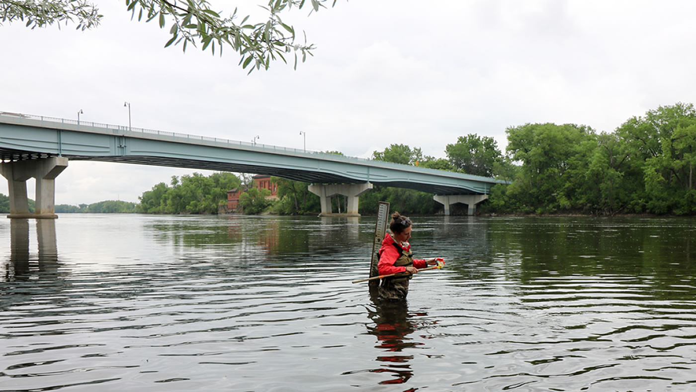
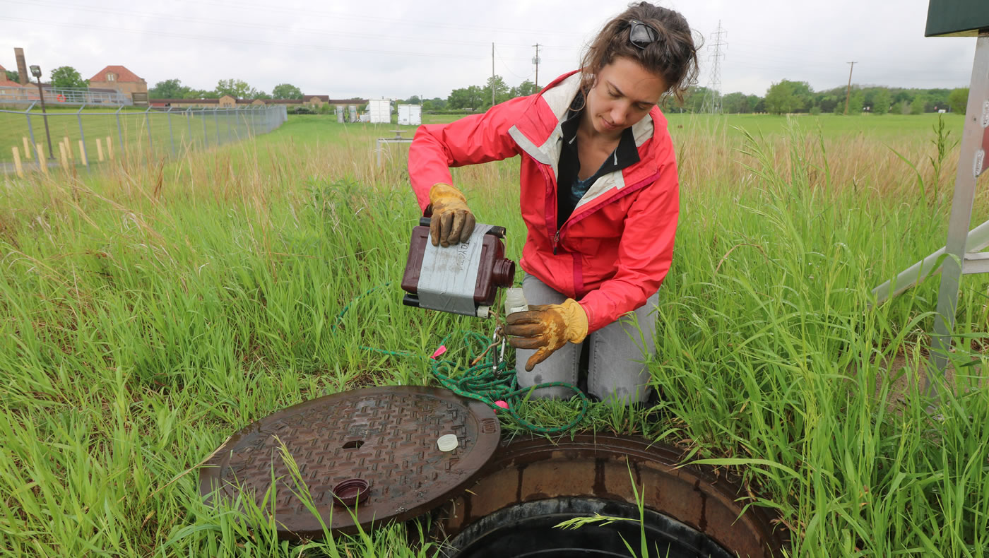
One of the team’s regular tasks is to collect water samples to test for E. coli bacteria. E. coli comes from fecal matter (mostly pets and wildlife), and is used as an indicator of the presence of potentially dangerous bacteria. E. coli sample data are submitted to the Minnesota Pollution Control Agency and used in various studies, including the determination of whether a water body is exceeding current water quality standards.
Twice per month, from April through November, the team wades into the Mississippi River to collect water samples from 1 foot below the water’s surface at seven designated locations along a 15 mile stretch of the river.
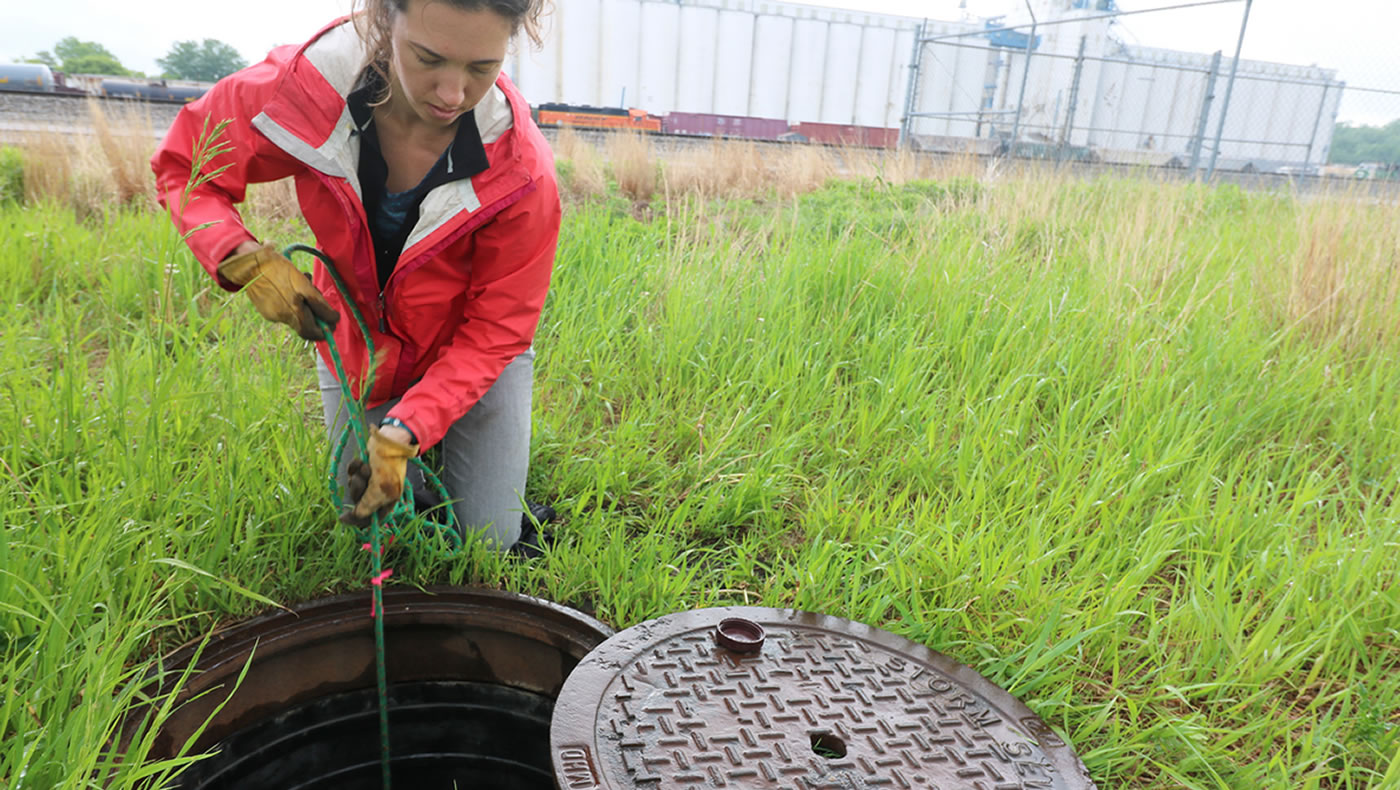
Since pollutants like E. coli flow downstream, it can be difficult to pinpoint the source of pollution within the river itself. So the team also collects samples from the local stormsewer system. By sampling these networks of pipes, which carry runoff from streets and roads into the Mississippi River, the team can better evaluate how much pollution is being contributed by lands that are actually located within the sub-watershed.
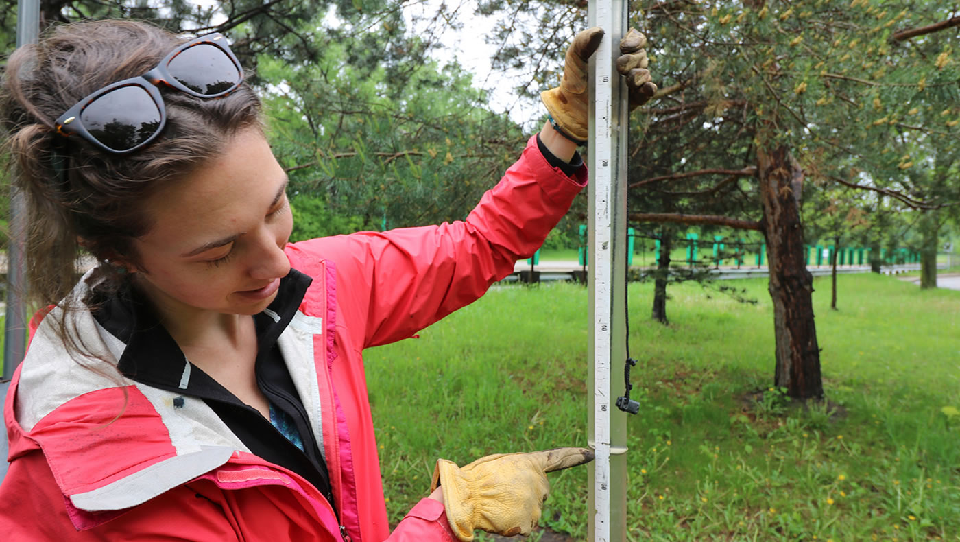
The MWMO monitors stormwater quality at five fixed locations; four are located at stormwater outfalls (places where stormsewers drain into the river), and one is located in a stormwater pipe in Northeast Minneapolis. The team takes bacteria samples from all of the stormwater sites as well as all the river sites on the same day. They also measure the transparency of the water and for the river locations, the depth of the river as they go. Samples are transported to the Metropolitan Council Environmental Services Laboratory, which conducts the testing.
River monitoring
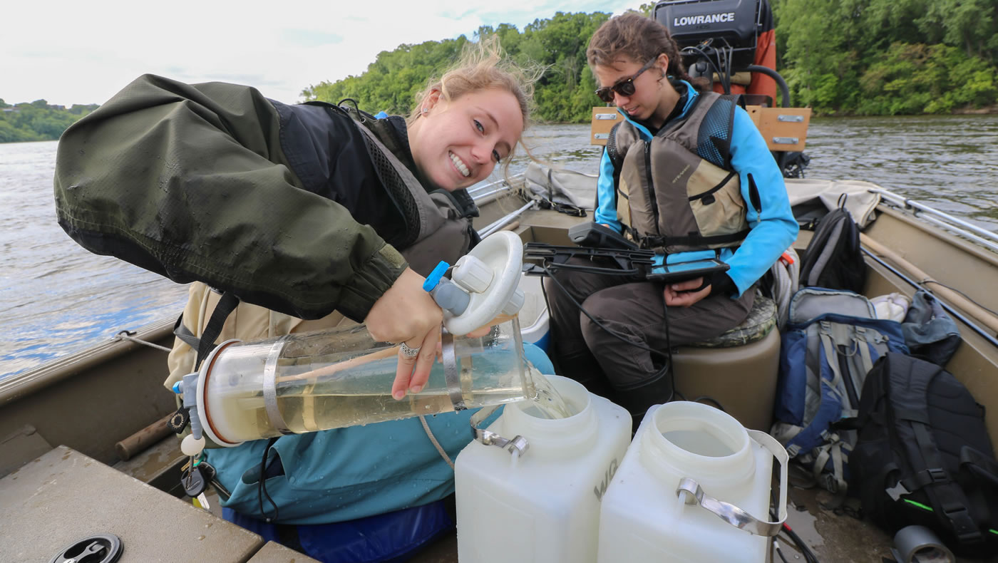
I also recently joined the monitoring team for another of their regular monitoring activity: Mississippi river water quality monitoring.
The MWMO started regularly collecting water quality samples in the Mississippi River in 2014. The goal is to collect baseline water quality data that can be used to help guide management of the river. In addition to collecting water samples, the team uses specialized equipment to measure the water transparency, pH level, conductivity, temperature, salinity and dissolved oxygen level. These are all indicators of water quality in the river.
The team conducts river monitoring at eight specified locations. The eight sites are distributed throughout the 15 mile stretch of Mississippi river from north of interstate 694 in Fridley to Ford dam in Minneapolis and elected to represent different reaches of the river. Collecting samples from different sites allows the team to compare the chemical compositions and mixing behavior of different parts of the river.
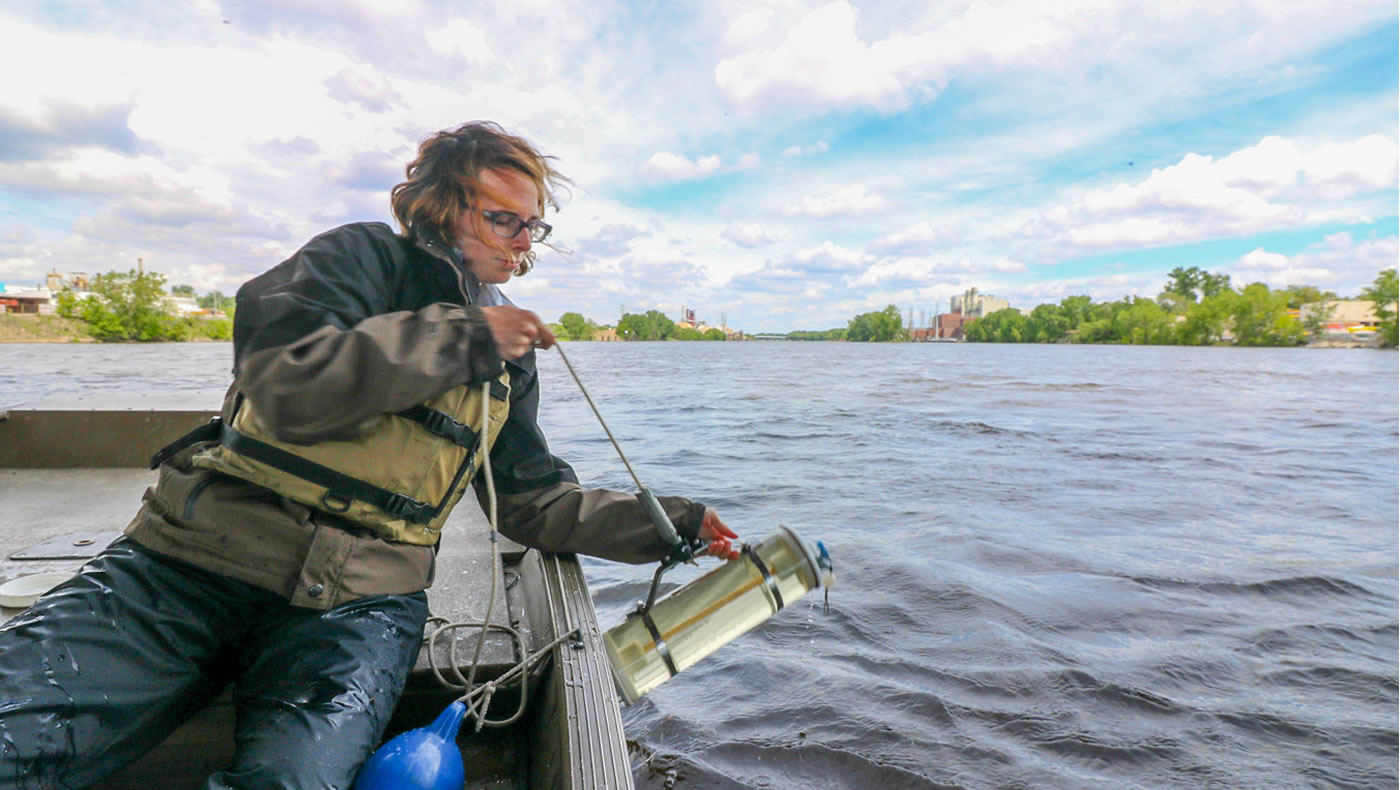
River samples are collected by boat, at or near the middle of the river channel, at a depth of 3 feet below the surface. (The added depth helps to avoid the collection of floating debris that could contaminate the sample, and to maintain consistency with other groups that collect water quality samples both upstream and downstream of the MWMO.) The samples are stored in a cooler and transported to the Metropolitan Council Environmental Services Laboratory, which tests them for various pollutants.
The team compiles data it collects in the MWMO’s Annual Monitoring Report and shares it with other agencies. The report also includes descriptions of monitoring methodologies and analysis of data, where possible. Because much of the monitoring program is relatively new (started a little more than a decade ago), the team is just now beginning to analyze the data for trends. They recently implemented a database system called WISKI (for Water Information Systems by KISTERS) to help with this task.
After spending a couple days in the field with the monitoring team, I have a better understanding of what it takes to monitor water quality across an entire watershed. I got a peek into what it’s like to work with the river that receives the brunt of our stormwater runoff, pollutants and all. I learned that improving water quality can start with being aware of the potential sources of pollution our own lawns and preventing them from entering our storm drains. While I enjoyed my time with the monitoring team, collecting samples through Minnesota’s frigid winters and humid summers might not be for everyone. For now, I’ll keep promoting responsible water stewardship and advocating for the importance of water quality from indoors.
